Most Popular
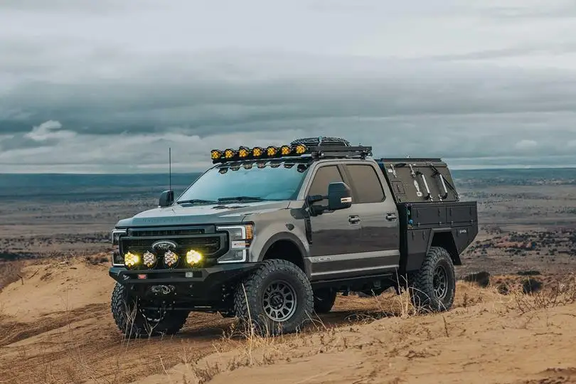
Ford F-350 with Camper
Heavy-duty truck camper with off-road upgrades, diesel power & gear storage for Arctic travel in Alaska now.
From $195/day
Book this rig
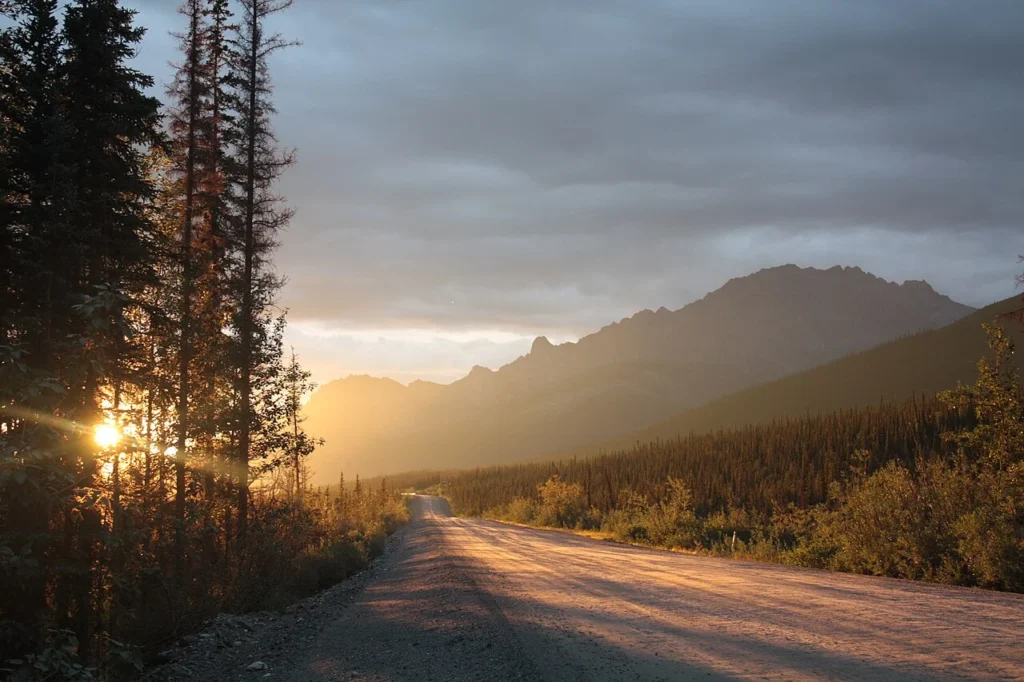

Alaska's most legendary road trip. Travel beyond the Arctic Circle through mountains, tundra, and remote wilderness to Prudhoe Bay on the Arctic Ocean.


Heavy-duty truck camper with off-road upgrades, diesel power & gear storage for Arctic travel in Alaska now.
From $195/day
Book this rig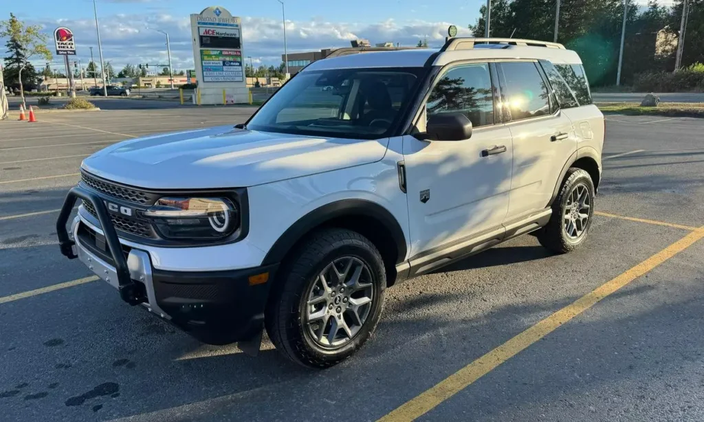
Compact SUV built for Alaska highways, gravel roads & scenic backcountry travel with confident AWD capability.
From $165/day
Book this rigDeparture Point
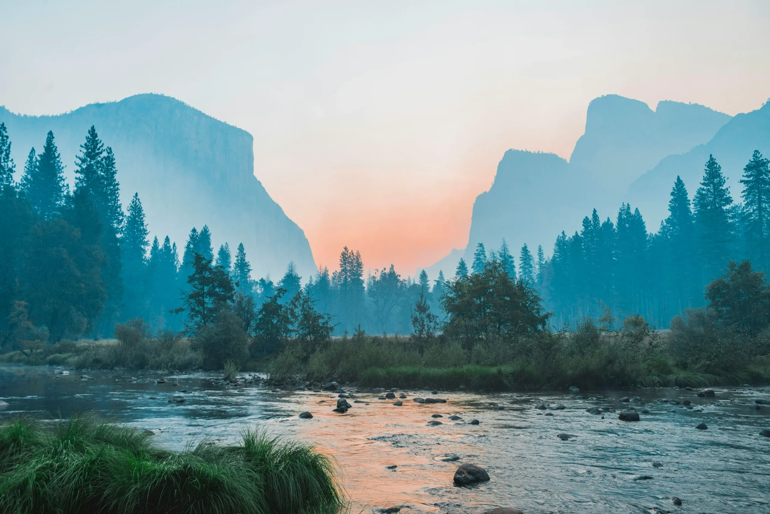
The journey begins in Fairbanks, the last major city before entering Alaska’s Arctic wilderness. Stock up on supplies, fuel, and emergency equipment before departure.
Fuel & Services
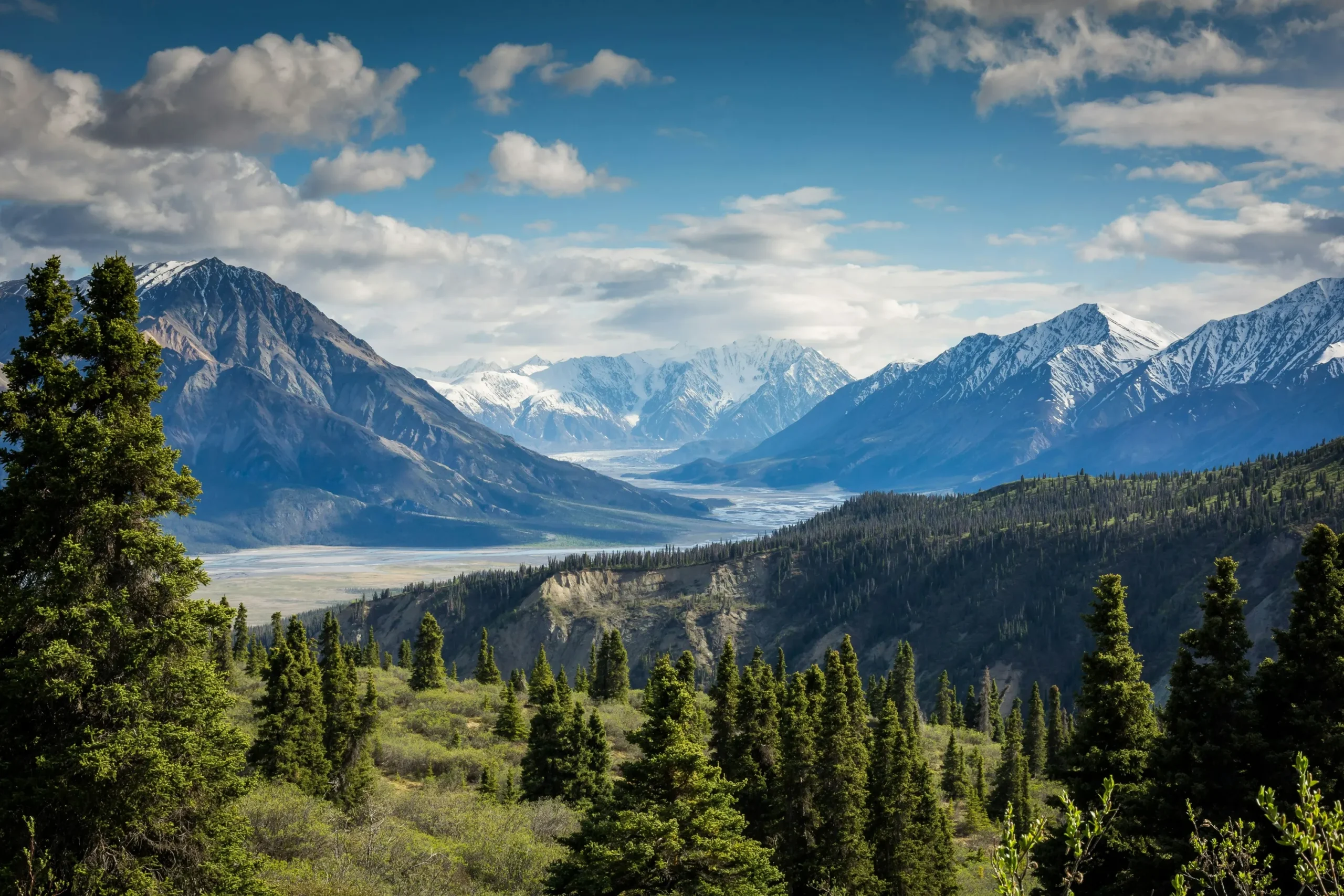
Cross the legendary Yukon River on the Dalton Highway Bridge. Seasonal fuel, meals, and basic services are available here.
Landmark
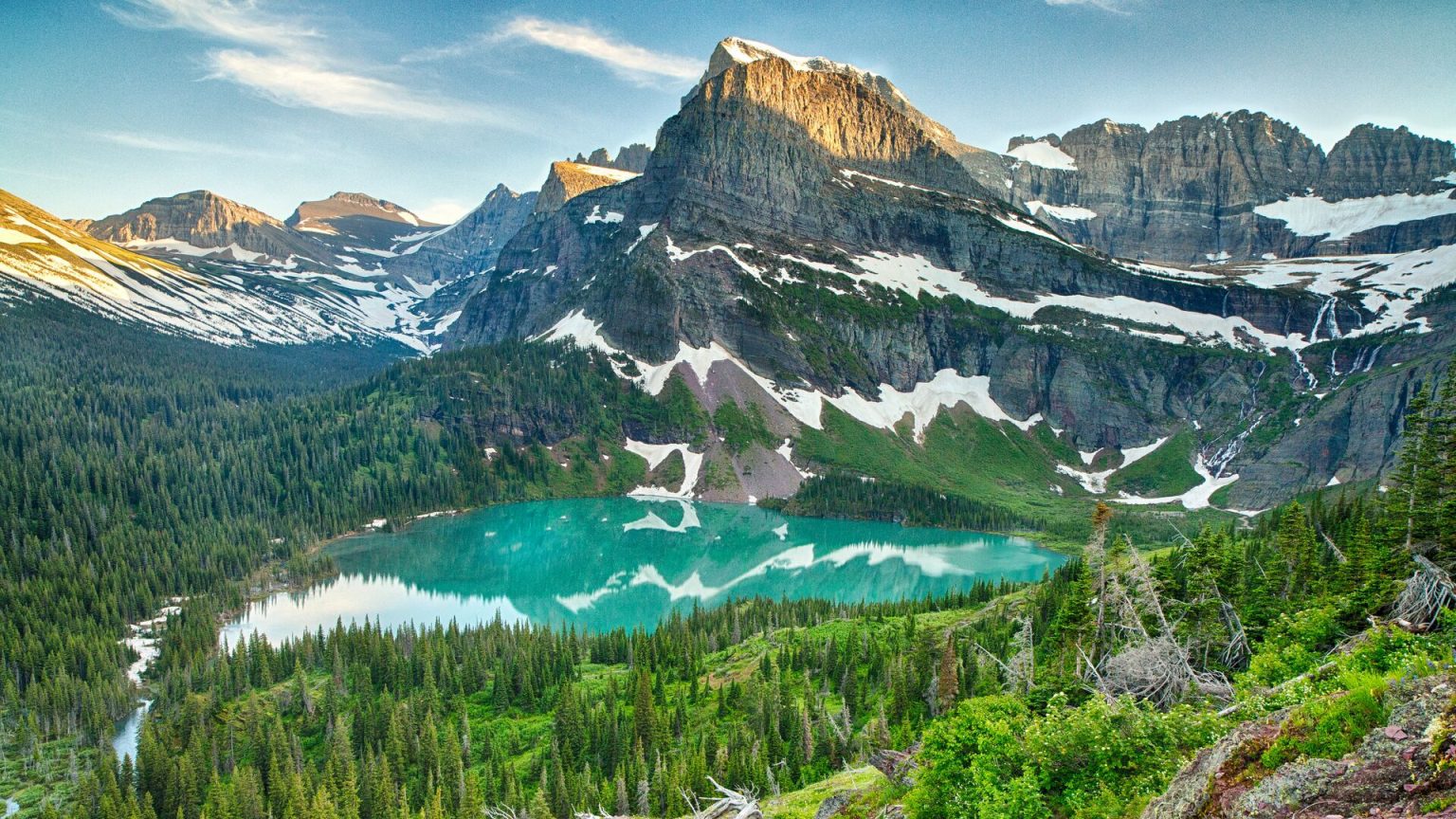
One of Alaska’s most famous milestones. Travelers stop here for photos and to officially cross into the Arctic region.
Service Stop
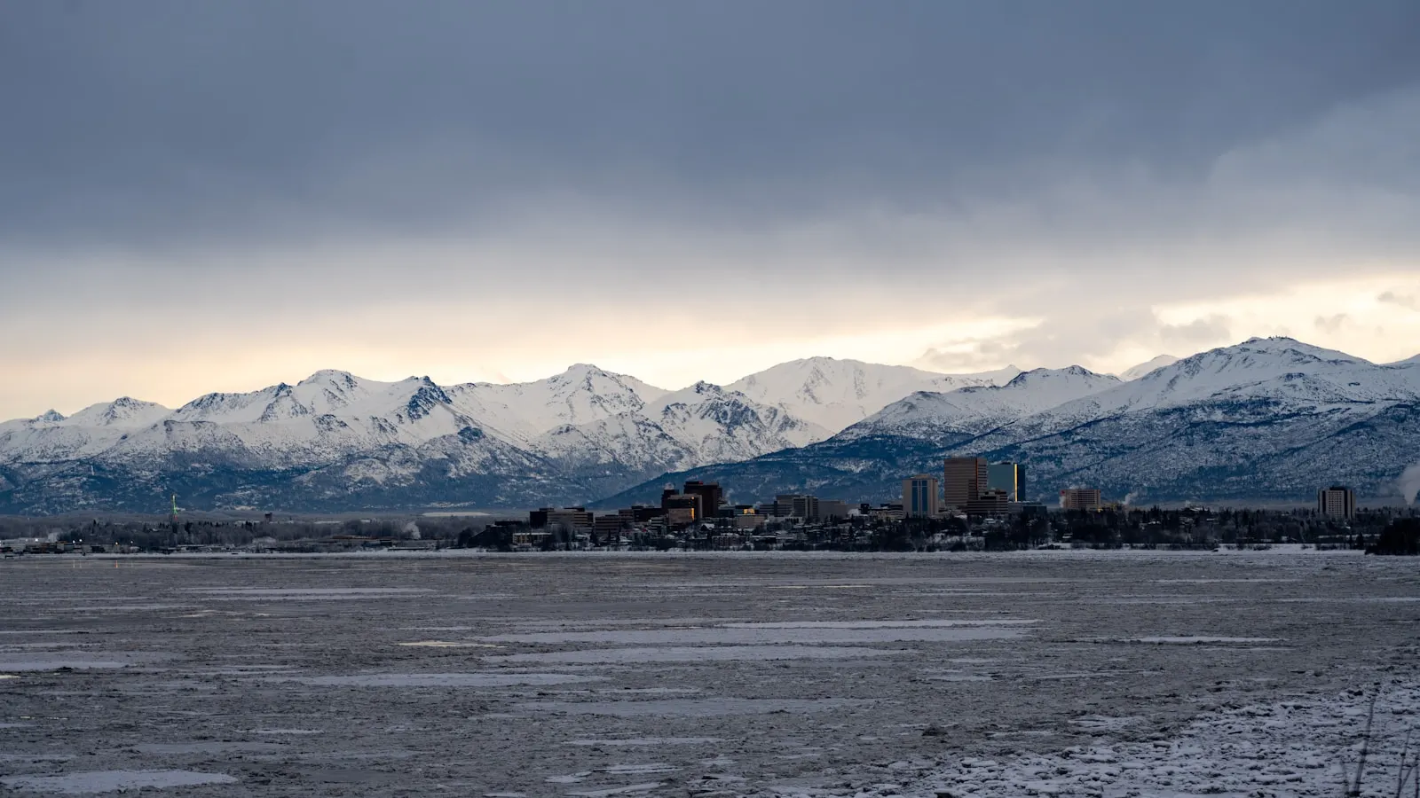
The northernmost truck stop in the United States. Fuel, lodging, meals, and visitor information are available.
Mountain Pass

At 4,739 feet, Atigun Pass is the highest year-round highway pass in Alaska, crossing the Brooks Range with dramatic mountain scenery.
Tundra Region
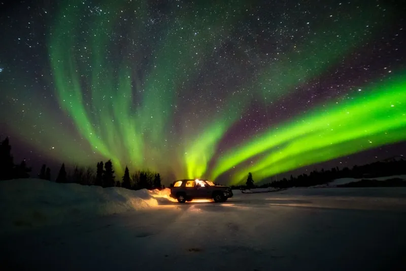
The landscape transforms into vast Arctic tundra with opportunities to spot caribou, musk oxen, foxes, and migratory birds.
Arctic Ocean Destination
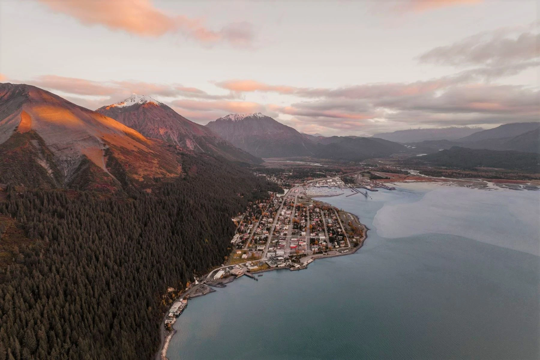
The northern end of the Dalton Highway. Prudhoe Bay sits on Alaska’s Arctic Coast and serves as the endpoint of North America’s most remote highway adventure.
The Dalton Highway is one of the most remote roads in North America. Proper preparation, vehicle selection, and planning are essential for a safe and successful Arctic journey.